Paths to Monks Risborough
Introduction
The photograph on this page of Paths to Monks Risborough by Stephen McKay as part of the Geograph project.
The Geograph project started in 2005 with the aim of publishing, organising and preserving representative images for every square kilometre of Great Britain, Ireland and the Isle of Man.

There are currently over 7.5m images from over 14,400 individuals and you can help contribute to the project by visiting https://www.geograph.org.uk
Paths to Monks Risborough
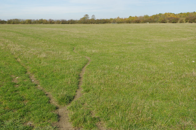
Image: © Stephen McKay Taken: 24 Oct 2018
Two paths cross this field, both leading to Monks Risborough (the one on the left is now routed on the other side of the hedgerow from that indicated on the OS map). The topography here in Aylesbury Vale just north of the Chiltern escarpment is typically flat.
Images are licensed for reuse under creativecommons.org/licenses/by-sa/2.0
Image Location
Latitude
51.739692
Longitude
-0.831361