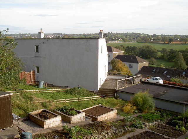
Allotments on the old union house
Introduction
The photograph on this page of Allotments on the old union house by Neil Owen as part of the Geograph project.
The Geograph project started in 2005 with the aim of publishing, organising and preserving representative images for every square kilometre of Great Britain, Ireland and the Isle of Man.
There are currently over 7.5m images from over 14,400 individuals and you can help contribute to the project by visiting https://www.geograph.org.uk

Image: © Neil Owen Taken: 23 Oct 2018
This view takes in part of what remains of the Clutton Union Workhouse, in Eastcourt Road. It had a varied history: originally contracted to be constructed in 1836-7 at a cost of £4,695 it provided beds for up to 400 inmates, and offered school and infirmary facilities. Locally quarried stone was used on this steeply sloping land to build it and it formally opened towards the end of 1837. The institution took in many and varied poor souls - from local unmarried mothers, injured (and therefore unpaid) farm labourers and those with other health issues. Following the end of hostilities in 1918-19, there were also several vagrant soldiers and sailors who found the return to civilian life difficult. The Ministry of Health took over the running in 1919, until the whole Poor Law acts were wound up in 1930. Somerset County Council then tok the site over as a Public Assistance Institution until that too closed on 7th June, 1967. It is now private residences. See http://www.highlittletonhistory.org.uk/transcriptions0905/CluttonUnionWorkhouseDeaths1838-1927&Indx.pdf for a longer history.

