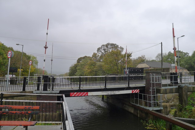
Closed bridge at Twechar
Introduction
The photograph on this page of Closed bridge at Twechar by Tim Heaton as part of the Geograph project.
The Geograph project started in 2005 with the aim of publishing, organising and preserving representative images for every square kilometre of Great Britain, Ireland and the Isle of Man.
There are currently over 7.5m images from over 14,400 individuals and you can help contribute to the project by visiting https://www.geograph.org.uk

Image: © Tim Heaton Taken: 9 Oct 2018
Safety concerns over this (and another) bridge on the Forth and Clyde Canal have led to them being closed for some time https://www.scottishcanals.co.uk/news/bridge-restrictions-operational-changes/ The Inland Waterways Association "has told Scottish Canals that the current indefinite closure of the Forth & Clyde Canal is unacceptable. This follows the claim by Scottish Canals that it does not have the funds necessary to repair two lift bridges … The two lift bridges, at Twechar and Bonnybridge, are situated around the middle of the Scottish lowlands canal, and their closure would affect all local traffic, the hire boat trade and any seagoing craft wishing to traverse the canal from one coast to the other." https://www.waterways.org.uk/news/view?id=346 This must explain why, on a 17 mile walk along the canal over a period of three days I didn't see any craft moving along the canal. The towpath, on the other hand, was well used by cyclists.

