Path between the houses
Introduction
The photograph on this page of Path between the houses by Bill Boaden as part of the Geograph project.
The Geograph project started in 2005 with the aim of publishing, organising and preserving representative images for every square kilometre of Great Britain, Ireland and the Isle of Man.

There are currently over 7.5m images from over 14,400 individuals and you can help contribute to the project by visiting https://www.geograph.org.uk
Path between the houses
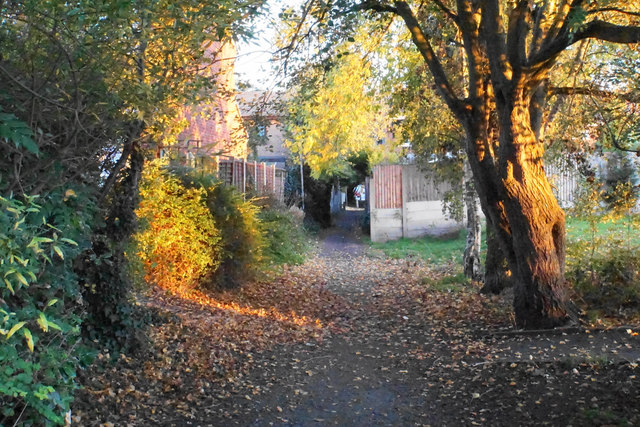
Image: © Bill Boaden Taken: 18 Oct 2018
This area has been surrounded by new housing development. The path was here before the housing was built.
Images are licensed for reuse under creativecommons.org/licenses/by-sa/2.0
Image Location
Latitude
53.505934
Longitude
-2.446399