Langney Sewer
Introduction
The photograph on this page of Langney Sewer by Marathon as part of the Geograph project.
The Geograph project started in 2005 with the aim of publishing, organising and preserving representative images for every square kilometre of Great Britain, Ireland and the Isle of Man.

There are currently over 7.5m images from over 14,400 individuals and you can help contribute to the project by visiting https://www.geograph.org.uk
Langney Sewer
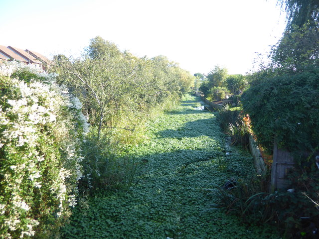
Image: © Marathon Taken: 21 Oct 2018
This looks eastwards from Langley Rise (B2104) at Langney Bridge. As with the 'sewers' on Romney Marsh, a sewer here is another name for a drainage ditch rather than a receptable for sewage. See http://www.geograph.org.uk/photo/5950105 for the view in the opposite direction across West Langney Level.
Images are licensed for reuse under creativecommons.org/licenses/by-sa/2.0
Image Location
Latitude
50.794132
Longitude
0.31482