The Serpent Trail
Introduction
The photograph on this page of The Serpent Trail by Chris Thomas-Atkin as part of the Geograph project.
The Geograph project started in 2005 with the aim of publishing, organising and preserving representative images for every square kilometre of Great Britain, Ireland and the Isle of Man.

There are currently over 7.5m images from over 14,400 individuals and you can help contribute to the project by visiting https://www.geograph.org.uk
The Serpent Trail
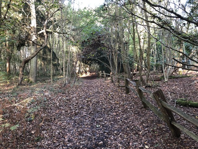
Image: © Chris Thomas-Atkin Taken: 21 Oct 2018
The trail as it passes between Furze Patch and The Warren.
Images are licensed for reuse under creativecommons.org/licenses/by-sa/2.0
Image Location
Latitude
50.943776
Longitude
-0.607735