Pymme's Brook Trail by the Brook
Introduction
The photograph on this page of Pymme's Brook Trail by the Brook by Des Blenkinsopp as part of the Geograph project.
The Geograph project started in 2005 with the aim of publishing, organising and preserving representative images for every square kilometre of Great Britain, Ireland and the Isle of Man.

There are currently over 7.5m images from over 14,400 individuals and you can help contribute to the project by visiting https://www.geograph.org.uk
Pymme's Brook Trail by the Brook
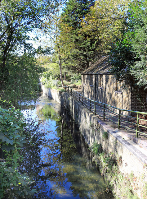
Image: © Des Blenkinsopp Taken: 9 Oct 2018
The Pymme's Brook Trail follows the course of the brook from its source near Cockfosters down to the River Lea. Due to the nature of urban watercourses it isn't always possible to be this near to the stream, but the route through this square manages to stay closer than usual.
Images are licensed for reuse under creativecommons.org/licenses/by-sa/2.0
Image Location
Latitude
51.61553
Longitude
-0.080291