Devil's Reach, River Roach
Introduction
The photograph on this page of Devil's Reach, River Roach by David Kemp as part of the Geograph project.
The Geograph project started in 2005 with the aim of publishing, organising and preserving representative images for every square kilometre of Great Britain, Ireland and the Isle of Man.

There are currently over 7.5m images from over 14,400 individuals and you can help contribute to the project by visiting https://www.geograph.org.uk
Devil's Reach, River Roach
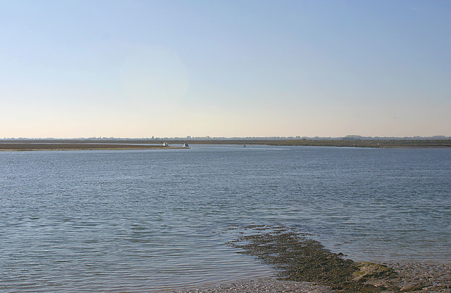
Image: © David Kemp Taken: 21 Oct 2018
The waterway leading off the Roach (foreground) is The Middleway. This flows south between Foulness and Potton Islands before flowing either side of Rushley Island after which it becomes Havengore Creek and flows into the North Sea. On the left is Potton Point at the north-west corner of Foulness and on the right is Potton Island. Taken from the south shore of Wallasea Island.
Images are licensed for reuse under creativecommons.org/licenses/by-sa/2.0
Image Location
Latitude
51.595819
Longitude
0.838662