Jordan Lane
Introduction
The photograph on this page of Jordan Lane by Derek Harper as part of the Geograph project.
The Geograph project started in 2005 with the aim of publishing, organising and preserving representative images for every square kilometre of Great Britain, Ireland and the Isle of Man.

There are currently over 7.5m images from over 14,400 individuals and you can help contribute to the project by visiting https://www.geograph.org.uk
Jordan Lane
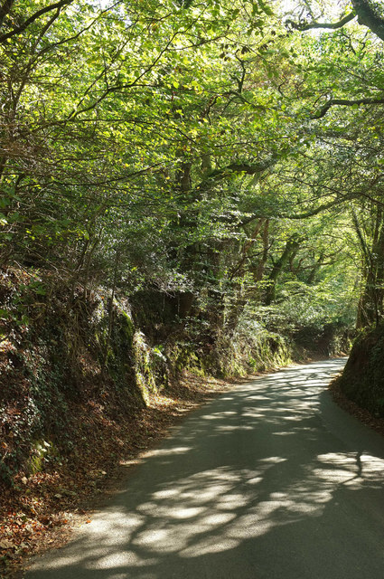
Image: © Derek Harper Taken: 20 Oct 2018
Below the turn to East Wheal Robert, the road suddenly becomes a steep sunken lane through woodland.
Images are licensed for reuse under creativecommons.org/licenses/by-sa/2.0
Image Location
Latitude
50.517083
Longitude
-4.092492