Harveys, Lacy's Hill
Introduction
The photograph on this page of Harveys, Lacy's Hill by Simon Carey as part of the Geograph project.
The Geograph project started in 2005 with the aim of publishing, organising and preserving representative images for every square kilometre of Great Britain, Ireland and the Isle of Man.

There are currently over 7.5m images from over 14,400 individuals and you can help contribute to the project by visiting https://www.geograph.org.uk
Harveys, Lacy's Hill
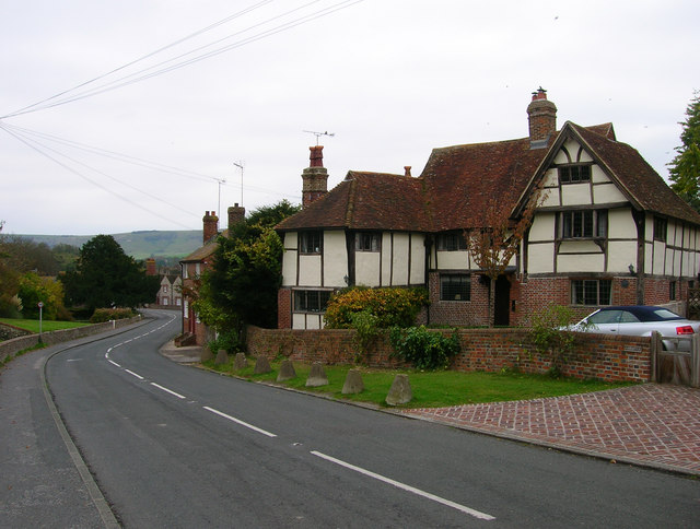
Image: © Simon Carey Taken: 24 Oct 2007
16th Century building believed to be a former farmhouse that was converted into two residences known as Grapevine Cottages until the 1920s when purchased, renamed and reconverted back into one residence.
Images are licensed for reuse under creativecommons.org/licenses/by-sa/2.0
Image Location
Latitude
50.863534
Longitude
0.067428