413 - 423 Croydon Road
Introduction
The photograph on this page of 413 - 423 Croydon Road by Ian Capper as part of the Geograph project.
The Geograph project started in 2005 with the aim of publishing, organising and preserving representative images for every square kilometre of Great Britain, Ireland and the Isle of Man.

There are currently over 7.5m images from over 14,400 individuals and you can help contribute to the project by visiting https://www.geograph.org.uk
413 - 423 Croydon Road
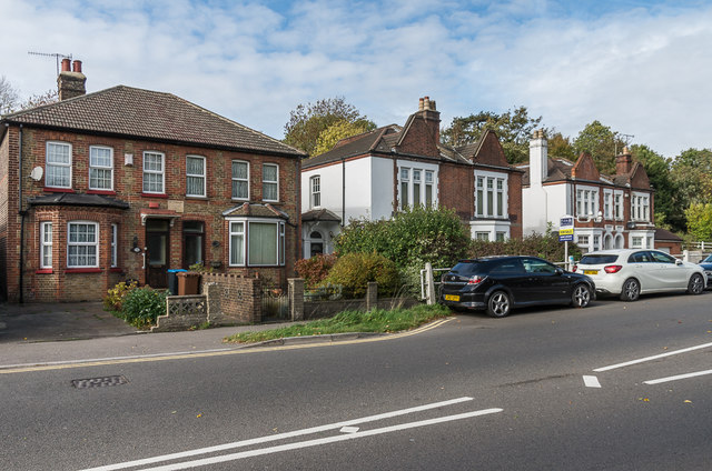
Image: © Ian Capper Taken: 12 Oct 2018
Victorian villas in Croydon Road. The far pairs are both shown on the 1896-7 1:2,500 map; the nearest pair is slightly later, not appearing on that the map but having a plaque "Nelson Villa 1897".
Images are licensed for reuse under creativecommons.org/licenses/by-sa/2.0
Image Location


Leaflet Map data © OpenStreetMap
Latitude
51.29706
Longitude
-0.071244