Heol i Bombren Araeth / Road to Pombren Araeth
Introduction
The photograph on this page of Heol i Bombren Araeth / Road to Pombren Araeth by Alan Richards as part of the Geograph project.
The Geograph project started in 2005 with the aim of publishing, organising and preserving representative images for every square kilometre of Great Britain, Ireland and the Isle of Man.

There are currently over 7.5m images from over 14,400 individuals and you can help contribute to the project by visiting https://www.geograph.org.uk
Heol i Bombren Araeth / Road to Pombren Araeth
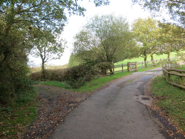
Image: © Alan Richards Taken: 19 Oct 2018
Mae'r track ar y chwith yn arwain i gyfeiriad Pombren Araeth tra bod yr heol fetel yn mynd i Ffarm Maesydderwen. The track on the left heads in the direction of Pombren Araeth (trans. Araeth [river] footbridge) while the other is an access road to Maesydderwen Farm (trans. oak field).
Images are licensed for reuse under creativecommons.org/licenses/by-sa/2.0
Image Location


Leaflet Map data © OpenStreetMap
Latitude
51.888637
Longitude
-3.940387