New homes at Blackdown
Introduction
The photograph on this page of New homes at Blackdown by Ron Strutt as part of the Geograph project.
The Geograph project started in 2005 with the aim of publishing, organising and preserving representative images for every square kilometre of Great Britain, Ireland and the Isle of Man.

There are currently over 7.5m images from over 14,400 individuals and you can help contribute to the project by visiting https://www.geograph.org.uk
New homes at Blackdown
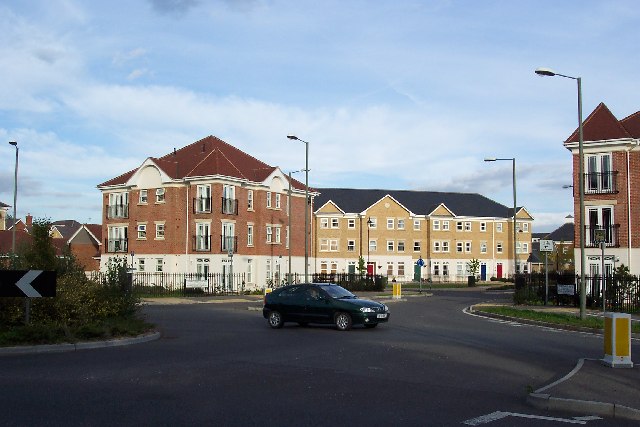
Image: © Ron Strutt Taken: 29 Sep 2005
Much of the site of the former Blackdown Barracks has now been used for a private housing development. Looking ENE from the roundabout on the B3015.
Images are licensed for reuse under creativecommons.org/licenses/by-sa/2.0
Image Location


Leaflet Map data © OpenStreetMap
Latitude
51.313893
Longitude
-0.700016