Chagford house [12]
Introduction
The photograph on this page of Chagford house [12] by Michael Dibb as part of the Geograph project.
The Geograph project started in 2005 with the aim of publishing, organising and preserving representative images for every square kilometre of Great Britain, Ireland and the Isle of Man.

There are currently over 7.5m images from over 14,400 individuals and you can help contribute to the project by visiting https://www.geograph.org.uk
Chagford house [12]
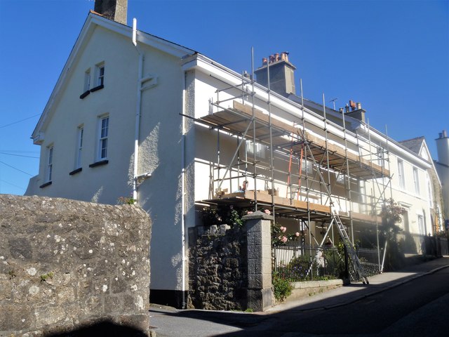
Image: © Michael Dibb Taken: 26 Sep 2018
Now a guest house, Claremont was built circa 1850. Listed, grade II, with details at: https://historicengland.org.uk/listing/the-list/list-entry/1326024
Images are licensed for reuse under creativecommons.org/licenses/by-sa/2.0
Image Location
Latitude
50.673319
Longitude
-3.841561