Dunedin Drive
Introduction
The photograph on this page of Dunedin Drive by Ian Capper as part of the Geograph project.
The Geograph project started in 2005 with the aim of publishing, organising and preserving representative images for every square kilometre of Great Britain, Ireland and the Isle of Man.

There are currently over 7.5m images from over 14,400 individuals and you can help contribute to the project by visiting https://www.geograph.org.uk
Dunedin Drive
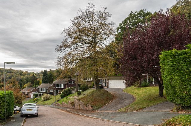
Image: © Ian Capper Taken: 12 Oct 2018
c1970s housing in a road off Underwood Road, below Harestone Lane. Dunedin was the name of a Victorian house in Underwood Road which used to stand at what is now the junction of the two roads.
Images are licensed for reuse under creativecommons.org/licenses/by-sa/2.0
Image Location
Latitude
51.275773
Longitude
-0.089326