Armathwaite Community School
Introduction
The photograph on this page of Armathwaite Community School by Rose and Trev Clough as part of the Geograph project.
The Geograph project started in 2005 with the aim of publishing, organising and preserving representative images for every square kilometre of Great Britain, Ireland and the Isle of Man.

There are currently over 7.5m images from over 14,400 individuals and you can help contribute to the project by visiting https://www.geograph.org.uk
Armathwaite Community School
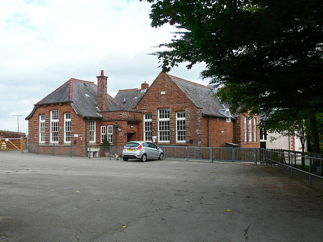
Image: © Rose and Trev Clough Taken: 2 Sep 2018
In Station Road - a very long uphill walk from the centre of the village. The building dates from 1910.
Images are licensed for reuse under creativecommons.org/licenses/by-sa/2.0
Image Location
Latitude
54.811527
Longitude
-2.772655