Wildcat Trail map, Newtonmore
Introduction
The photograph on this page of Wildcat Trail map, Newtonmore by Jim Barton as part of the Geograph project.
The Geograph project started in 2005 with the aim of publishing, organising and preserving representative images for every square kilometre of Great Britain, Ireland and the Isle of Man.

There are currently over 7.5m images from over 14,400 individuals and you can help contribute to the project by visiting https://www.geograph.org.uk
Wildcat Trail map, Newtonmore
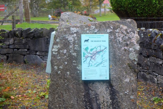
Image: © Jim Barton Taken: 8 Oct 2018
A map of the 10km trail that encircles Newtonmore by the River Spey, the River Calder and tracks to the north of the village.
Images are licensed for reuse under creativecommons.org/licenses/by-sa/2.0
Image Location
Latitude
57.069165
Longitude
-4.105658