Bench mark in Eaton Road, Handbridge
Introduction
The photograph on this page of Bench mark in Eaton Road, Handbridge by John S Turner as part of the Geograph project.
The Geograph project started in 2005 with the aim of publishing, organising and preserving representative images for every square kilometre of Great Britain, Ireland and the Isle of Man.

There are currently over 7.5m images from over 14,400 individuals and you can help contribute to the project by visiting https://www.geograph.org.uk
Bench mark in Eaton Road, Handbridge
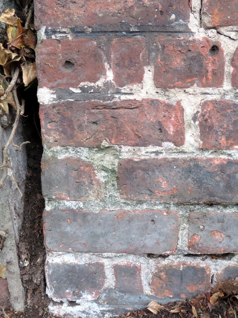
Image: © John S Turner Taken: 15 Oct 2018
This indistinct Ordnance Survey bench mark is on the end of the boundary wall between Handbridge College and Netherfield. The mark only dates to 1954. See also Image
Images are licensed for reuse under creativecommons.org/licenses/by-sa/2.0
Image Location
Latitude
53.178348
Longitude
-2.886625