Road off the A28 Canterbury Road
Introduction
The photograph on this page of Road off the A28 Canterbury Road by Geographer as part of the Geograph project.
The Geograph project started in 2005 with the aim of publishing, organising and preserving representative images for every square kilometre of Great Britain, Ireland and the Isle of Man.

There are currently over 7.5m images from over 14,400 individuals and you can help contribute to the project by visiting https://www.geograph.org.uk
Road off the A28 Canterbury Road
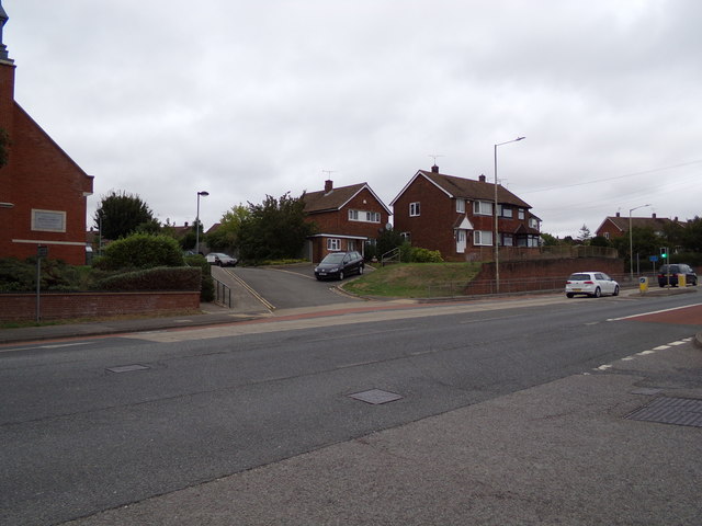
Image: © Geographer Taken: 19 Aug 2018
At the junction with Kinney's Lane near Church of Jesus Christ of Latter-day Saints
Images are licensed for reuse under creativecommons.org/licenses/by-sa/2.0
Image Location
Latitude
51.158224
Longitude
0.881549