Shaw's Farm from the Tissington Trail
Introduction
The photograph on this page of Shaw's Farm from the Tissington Trail by Humphrey Bolton as part of the Geograph project.
The Geograph project started in 2005 with the aim of publishing, organising and preserving representative images for every square kilometre of Great Britain, Ireland and the Isle of Man.

There are currently over 7.5m images from over 14,400 individuals and you can help contribute to the project by visiting https://www.geograph.org.uk
Shaw's Farm from the Tissington Trail
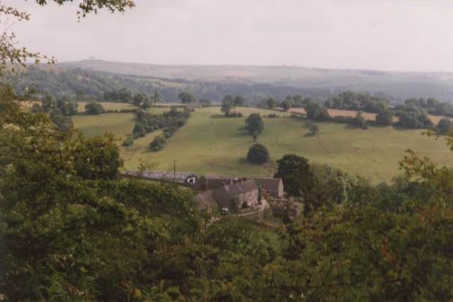
Image: © Humphrey Bolton Taken: 7 Jul 1999
The farm nestles in a little valley, with a ridge of pasture-land beyond.
Images are licensed for reuse under creativecommons.org/licenses/by-sa/2.0
Image Location


Leaflet Map data © OpenStreetMap
Latitude
53.077528
Longitude
-1.732763