View along Millershill Lane
Introduction
The photograph on this page of View along Millershill Lane by Robert Graham as part of the Geograph project.
The Geograph project started in 2005 with the aim of publishing, organising and preserving representative images for every square kilometre of Great Britain, Ireland and the Isle of Man.

There are currently over 7.5m images from over 14,400 individuals and you can help contribute to the project by visiting https://www.geograph.org.uk
View along Millershill Lane
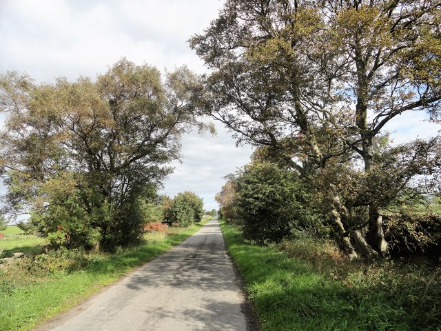
Image: © Robert Graham Taken: 5 Sep 2018
Looking north up this country lane in the countryside south of Consett. The roads here are very long and straight, but nothing to do with the Romans. They were laid out in the late C18 after the enclosure of Lanchester Common.
Images are licensed for reuse under creativecommons.org/licenses/by-sa/2.0
Image Location
Latitude
54.815506
Longitude
-1.84436