River Stor: Downstream of the Chantry Lane bridge
Introduction
The photograph on this page of River Stor: Downstream of the Chantry Lane bridge by Nigel Cox as part of the Geograph project.
The Geograph project started in 2005 with the aim of publishing, organising and preserving representative images for every square kilometre of Great Britain, Ireland and the Isle of Man.

There are currently over 7.5m images from over 14,400 individuals and you can help contribute to the project by visiting https://www.geograph.org.uk
River Stor: Downstream of the Chantry Lane bridge
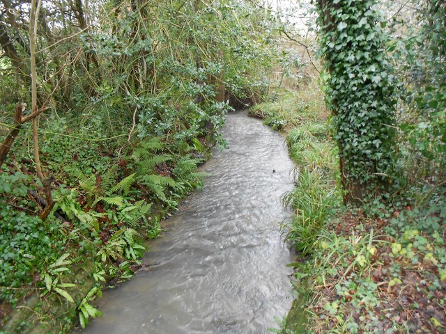
Image: © Nigel Cox Taken: 24 Jan 2016
The Stor is a comparatively short river, running off the South Downs to flow northwards through Storrington, before joining the River Arun to the south-east of Pulborough. This is the view from Image]
Images are licensed for reuse under creativecommons.org/licenses/by-sa/2.0
Image Location
Latitude
50.914252
Longitude
-0.448579