View up the valley from the A691
Introduction
The photograph on this page of View up the valley from the A691 by Robert Graham as part of the Geograph project.
The Geograph project started in 2005 with the aim of publishing, organising and preserving representative images for every square kilometre of Great Britain, Ireland and the Isle of Man.

There are currently over 7.5m images from over 14,400 individuals and you can help contribute to the project by visiting https://www.geograph.org.uk
View up the valley from the A691
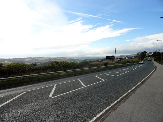
Image: © Robert Graham Taken: 27 Sep 2018
Looking westwards up the Browney valley from a point just past Lanchester Road Hospital. The farm on the right is Sleights House.
Images are licensed for reuse under creativecommons.org/licenses/by-sa/2.0
Image Location
Latitude
54.801083
Longitude
-1.620417