Footpath along Trout's Lane
Introduction
The photograph on this page of Footpath along Trout's Lane by Robert Graham as part of the Geograph project.
The Geograph project started in 2005 with the aim of publishing, organising and preserving representative images for every square kilometre of Great Britain, Ireland and the Isle of Man.

There are currently over 7.5m images from over 14,400 individuals and you can help contribute to the project by visiting https://www.geograph.org.uk
Footpath along Trout's Lane
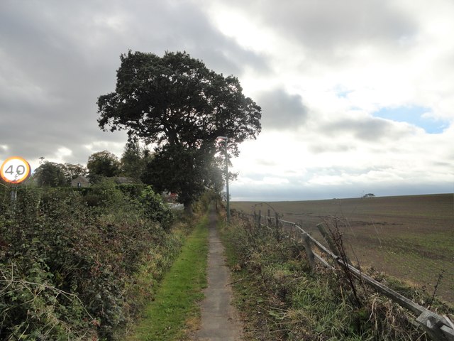
Image: © Robert Graham Taken: 27 Sep 2018
Rather unusually, there is a high hedge between the path and the road. I fancy it's there to give privacy to Hartside House on the other side of the lane.
Images are licensed for reuse under creativecommons.org/licenses/by-sa/2.0
Image Location
Latitude
54.803032
Longitude
-1.611532