Harborough Magna
Introduction
The photograph on this page of Harborough Magna by David Stowell as part of the Geograph project.
The Geograph project started in 2005 with the aim of publishing, organising and preserving representative images for every square kilometre of Great Britain, Ireland and the Isle of Man.

There are currently over 7.5m images from over 14,400 individuals and you can help contribute to the project by visiting https://www.geograph.org.uk
Harborough Magna
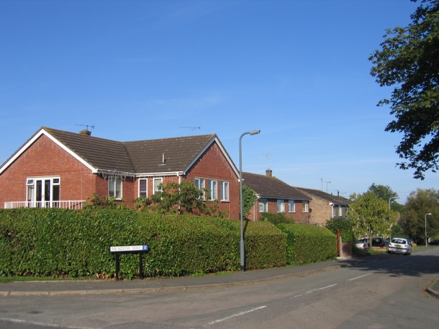
Image: © David Stowell Taken: 24 Sep 2005
Although this is an ancient village it is close to Rugby and has seen much expansion with modern housing in recent years.
Images are licensed for reuse under creativecommons.org/licenses/by-sa/2.0
Image Location


Leaflet Map data © OpenStreetMap
Latitude
52.407825
Longitude
-1.298759