Addlestone Bourne: Crockford Bridge
Introduction
The photograph on this page of Addlestone Bourne: Crockford Bridge by Nigel Cox as part of the Geograph project.
The Geograph project started in 2005 with the aim of publishing, organising and preserving representative images for every square kilometre of Great Britain, Ireland and the Isle of Man.

There are currently over 7.5m images from over 14,400 individuals and you can help contribute to the project by visiting https://www.geograph.org.uk
Addlestone Bourne: Crockford Bridge
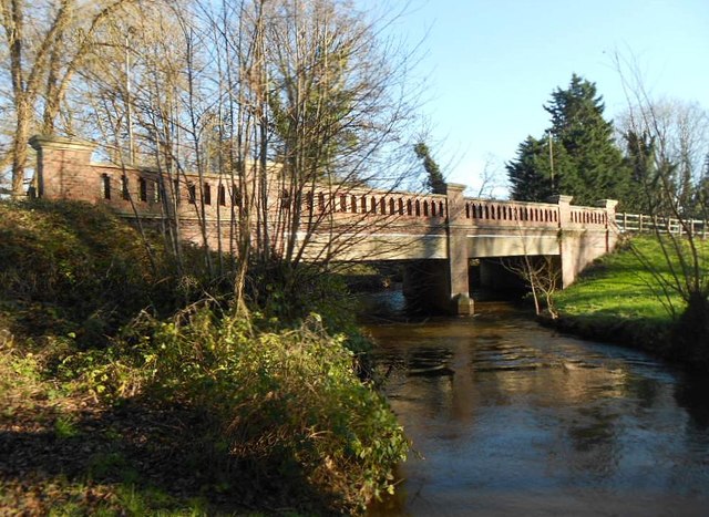
Image: © Nigel Cox Taken: 15 Jan 2016
This is the upstream side of the bridge that takes the A318 New Haw Road over the river. Victorian Ordnance Survey maps show that there was a ford where the current bridge is, with the old Crockford Bridge a slight distance downstream.
Images are licensed for reuse under creativecommons.org/licenses/by-sa/2.0
Image Location
Latitude
51.366306
Longitude
-0.489089