Terrace of houses at Bowburn
Introduction
The photograph on this page of Terrace of houses at Bowburn by Trevor Littlewood as part of the Geograph project.
The Geograph project started in 2005 with the aim of publishing, organising and preserving representative images for every square kilometre of Great Britain, Ireland and the Isle of Man.

There are currently over 7.5m images from over 14,400 individuals and you can help contribute to the project by visiting https://www.geograph.org.uk
Terrace of houses at Bowburn
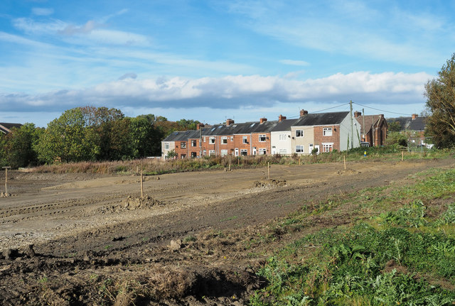
Image: © Trevor Littlewood Taken: 9 Oct 2018
The terrace as viewed from a public footpath which at the time had been closed by the local authority because of the obvious groundwork being done for the 'Integra 61' Development. There was far more of it behind the camera position with heavy machinery manoeuvring. Another adjacent path was also closed. There was no warning of the path closures as an approach was made to them from the west and so the decision was made to press on through the works as not to, would have involved a significant retracing of steps.
Images are licensed for reuse under creativecommons.org/licenses/by-sa/2.0
Image Location
Latitude
54.73389
Longitude
-1.525537