Ystrad Road directions and distances signs, Pentre
Introduction
The photograph on this page of Ystrad Road directions and distances signs, Pentre by Jaggery as part of the Geograph project.
The Geograph project started in 2005 with the aim of publishing, organising and preserving representative images for every square kilometre of Great Britain, Ireland and the Isle of Man.

There are currently over 7.5m images from over 14,400 individuals and you can help contribute to the project by visiting https://www.geograph.org.uk
Ystrad Road directions and distances signs, Pentre
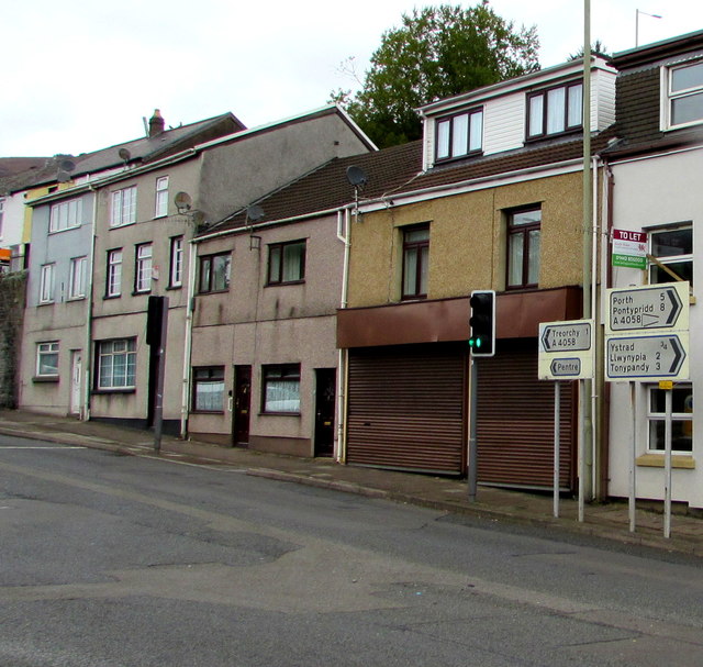
Image: © Jaggery Taken: 8 Oct 2018
Facing the Church Road junction. Left along the A4058 Ystrad Road for the centre of Pentre and for Treorchy one mile away. Right for Ystrad (¾), Llwynypia (2), Tonypandy (3), Porth (5), Pontypridd (8)
Images are licensed for reuse under creativecommons.org/licenses/by-sa/2.0
Image Location
Latitude
51.648423
Longitude
-3.486641