Unitarian chapel [1]
Introduction
The photograph on this page of Unitarian chapel [1] by Michael Dibb as part of the Geograph project.
The Geograph project started in 2005 with the aim of publishing, organising and preserving representative images for every square kilometre of Great Britain, Ireland and the Isle of Man.

There are currently over 7.5m images from over 14,400 individuals and you can help contribute to the project by visiting https://www.geograph.org.uk
Unitarian chapel [1]
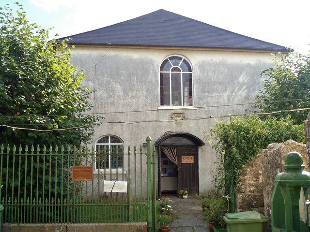
Image: © Michael Dibb Taken: 24 Sep 2018
Built in 1802, the chapel retains some original internal fittings. Listed, grade II, with details at: https://historicengland.org.uk/listing/the-list/list-entry/1097209
Images are licensed for reuse under creativecommons.org/licenses/by-sa/2.0
Image Location
Latitude
50.660331
Longitude
-3.762525