Former coach house
Introduction
The photograph on this page of Former coach house by Michael Dibb as part of the Geograph project.
The Geograph project started in 2005 with the aim of publishing, organising and preserving representative images for every square kilometre of Great Britain, Ireland and the Isle of Man.

There are currently over 7.5m images from over 14,400 individuals and you can help contribute to the project by visiting https://www.geograph.org.uk
Former coach house
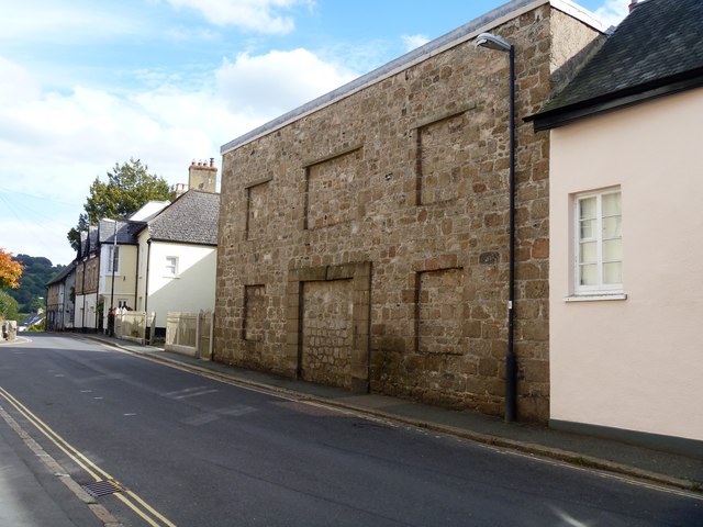
Image: © Michael Dibb Taken: 24 Sep 2018
The coach house, adjacent to the Rectory, forms the front range of a stable yard. Built in the early 19th century and altered in the 20th century. Impressive despite the blocked openings. Listed, grade II, with details at: https://historicengland.org.uk/listing/the-list/list-entry/1097208
Images are licensed for reuse under creativecommons.org/licenses/by-sa/2.0
Image Location
Latitude
50.660678
Longitude
-3.763387