Track west of Pentwyn Road, Trinant
Introduction
The photograph on this page of Track west of Pentwyn Road, Trinant by M J Roscoe as part of the Geograph project.
The Geograph project started in 2005 with the aim of publishing, organising and preserving representative images for every square kilometre of Great Britain, Ireland and the Isle of Man.

There are currently over 7.5m images from over 14,400 individuals and you can help contribute to the project by visiting https://www.geograph.org.uk
Track west of Pentwyn Road, Trinant
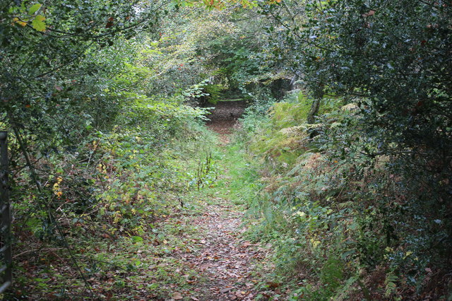
Image: © M J Roscoe Taken: 5 Oct 2018
This section of the track carries a public footpath. At the far end of the track it turns left to head towards Pentwyn Road Image
Images are licensed for reuse under creativecommons.org/licenses/by-sa/2.0
Image Location
Latitude
51.694014
Longitude
-3.150005