Allum Lane
Introduction
The photograph on this page of Allum Lane by Marathon as part of the Geograph project.
The Geograph project started in 2005 with the aim of publishing, organising and preserving representative images for every square kilometre of Great Britain, Ireland and the Isle of Man.

There are currently over 7.5m images from over 14,400 individuals and you can help contribute to the project by visiting https://www.geograph.org.uk
Allum Lane
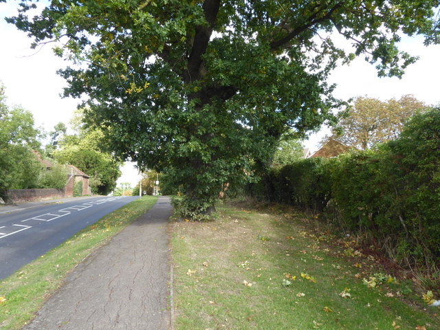
Image: © Marathon Taken: 19 Sep 2018
This is the highest point of Allum Lane, looking in the direction of Elstree & Borehamwood station.
Images are licensed for reuse under creativecommons.org/licenses/by-sa/2.0
Image Location
Latitude
51.649978
Longitude
-0.290173