The London LOOP in Borehamwood
Introduction
The photograph on this page of The London LOOP in Borehamwood by Marathon as part of the Geograph project.
The Geograph project started in 2005 with the aim of publishing, organising and preserving representative images for every square kilometre of Great Britain, Ireland and the Isle of Man.

There are currently over 7.5m images from over 14,400 individuals and you can help contribute to the project by visiting https://www.geograph.org.uk
The London LOOP in Borehamwood
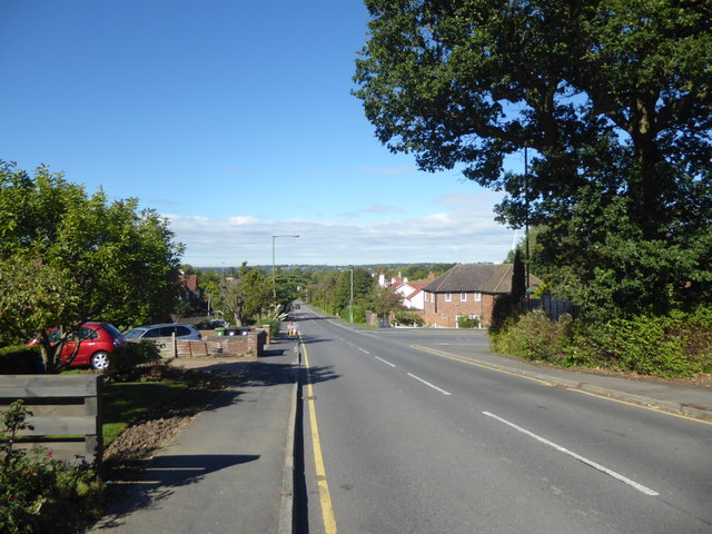
Image: © Marathon Taken: 26 Sep 2018
This is Deacon's Hill Road. The London LOOP runs down this road on its way from Scratch Wood, passing close to Elstree & Borehamwood station at the far end of Deacon's Hill Road, before heading out into the Green Belt again.
Images are licensed for reuse under creativecommons.org/licenses/by-sa/2.0
Image Location
Latitude
51.646056
Longitude
-0.280202