Underpass from Cefn-Mynog Farm
Introduction
The photograph on this page of Underpass from Cefn-Mynog Farm by M J Roscoe as part of the Geograph project.
The Geograph project started in 2005 with the aim of publishing, organising and preserving representative images for every square kilometre of Great Britain, Ireland and the Isle of Man.

There are currently over 7.5m images from over 14,400 individuals and you can help contribute to the project by visiting https://www.geograph.org.uk
Underpass from Cefn-Mynog Farm
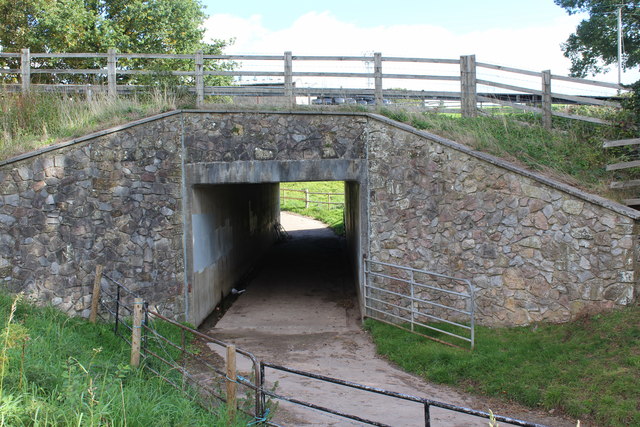
Image: © M J Roscoe Taken: 1 Oct 2018
The underpass runs from the farm on the far side of the A4042 to the lay-by, the former road, to allow easy access to fields Image
Images are licensed for reuse under creativecommons.org/licenses/by-sa/2.0
Image Location
Latitude
51.755359
Longitude
-2.989444