Bench mark on Tyn y Groesffordd, Llanferres
Introduction
The photograph on this page of Bench mark on Tyn y Groesffordd, Llanferres by John S Turner as part of the Geograph project.
The Geograph project started in 2005 with the aim of publishing, organising and preserving representative images for every square kilometre of Great Britain, Ireland and the Isle of Man.

There are currently over 7.5m images from over 14,400 individuals and you can help contribute to the project by visiting https://www.geograph.org.uk
Bench mark on Tyn y Groesffordd, Llanferres
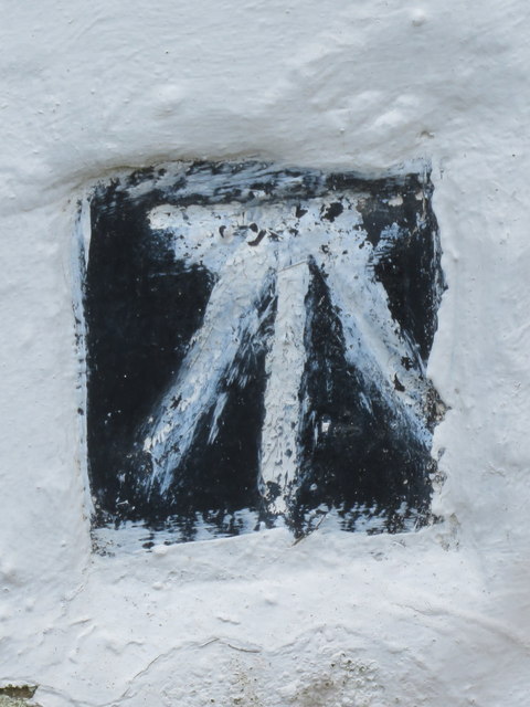
Image: © John S Turner Taken: 29 Sep 2018
This Ordnance Survey benchmark is on the north east corner of Tyn y Groesffordd, below Fron Hen, Llanferres. When the cottage was rendered the cut mark was left clear and then painted to highlight it. For a wider view see Image
Images are licensed for reuse under creativecommons.org/licenses/by-sa/2.0
Image Location
Latitude
53.140787
Longitude
-3.229098