Buildings at the former Cleadon Pumping Station
Introduction
The photograph on this page of Buildings at the former Cleadon Pumping Station by Graham Robson as part of the Geograph project.
The Geograph project started in 2005 with the aim of publishing, organising and preserving representative images for every square kilometre of Great Britain, Ireland and the Isle of Man.

There are currently over 7.5m images from over 14,400 individuals and you can help contribute to the project by visiting https://www.geograph.org.uk
Buildings at the former Cleadon Pumping Station
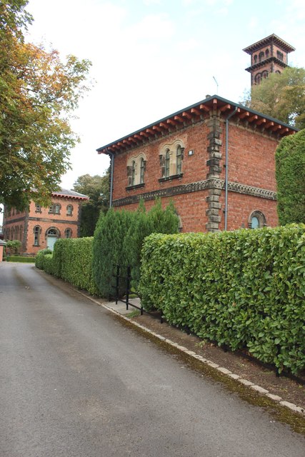
Image: © Graham Robson Taken: 23 Sep 2018
The ornately designed buildings of the former Cleadon Pumping Station have been retained and appear to have been converted into houses. The buildings and the chimney are grade II listed: https://historicengland.org.uk/listing/the-list/list-entry/1232322 and https://historicengland.org.uk/listing/the-list/list-entry/1416041
Images are licensed for reuse under creativecommons.org/licenses/by-sa/2.0
Image Location
Latitude
54.965085
Longitude
-1.39771