Looking across farmland to Sunniside Farm
Introduction
The photograph on this page of Looking across farmland to Sunniside Farm by Graham Robson as part of the Geograph project.
The Geograph project started in 2005 with the aim of publishing, organising and preserving representative images for every square kilometre of Great Britain, Ireland and the Isle of Man.

There are currently over 7.5m images from over 14,400 individuals and you can help contribute to the project by visiting https://www.geograph.org.uk
Looking across farmland to Sunniside Farm
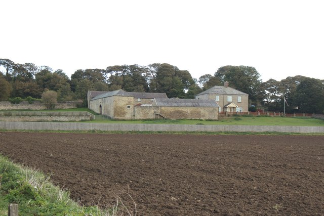
Image: © Graham Robson Taken: 23 Sep 2018
Sunniside Farm (no longer a working farm) is seen across an area of cultivated arable land beside the Cleadon Park area of South Shields.
Images are licensed for reuse under creativecommons.org/licenses/by-sa/2.0
Image Location
Latitude
54.964197
Longitude
-1.399754