Path towards Cam Valley playing fields
Introduction
The photograph on this page of Path towards Cam Valley playing fields by HelenK as part of the Geograph project.
The Geograph project started in 2005 with the aim of publishing, organising and preserving representative images for every square kilometre of Great Britain, Ireland and the Isle of Man.

There are currently over 7.5m images from over 14,400 individuals and you can help contribute to the project by visiting https://www.geograph.org.uk
Path towards Cam Valley playing fields
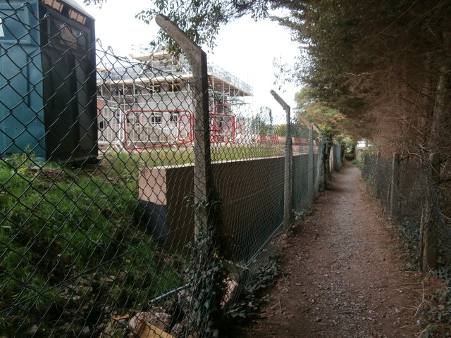
Image: © HelenK Taken: 30 Sep 2018
Today the gate shown at Image was open, giving access to this path, popular with dog walkers, which would once have skirted Purnell's printing works. The area of the former works has had housing built on it, and this adjacent area is also being built on. Paulton must have had a considerable expansion of population in recent years, but despite this many of the shops in the village have closed and it has lost its post office.
Images are licensed for reuse under creativecommons.org/licenses/by-sa/2.0
Image Location
Latitude
51.310494
Longitude
-2.502662