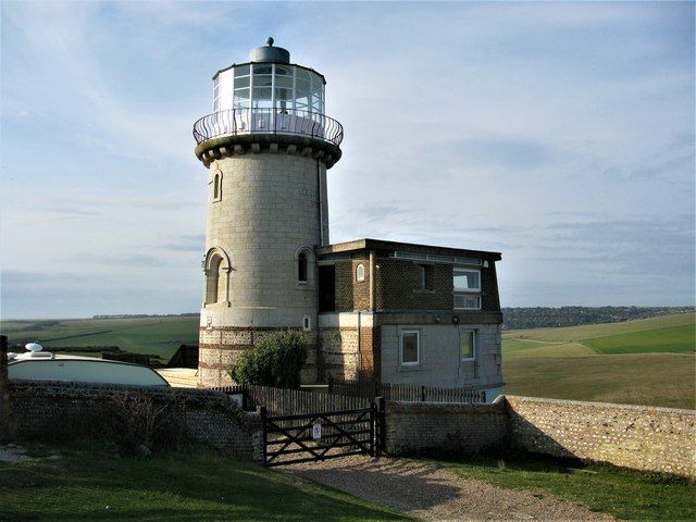
Belle Tout Lighthouse, near Beachy Head
Introduction
The photograph on this page of Belle Tout Lighthouse, near Beachy Head by G Laird as part of the Geograph project.
The Geograph project started in 2005 with the aim of publishing, organising and preserving representative images for every square kilometre of Great Britain, Ireland and the Isle of Man.
There are currently over 7.5m images from over 14,400 individuals and you can help contribute to the project by visiting https://www.geograph.org.uk

Image: © G Laird Taken: 20 Sep 2018
Notorious for countless shipwrecks, this stretch of coastline had its first lighthouse on Belle Tout Hill. Constructed of granite and first lit in 1834, the lighthouse had 30 oil lamps throwing a light up to 23 miles out to sea. However, in practice, the light was often obscured by sea fog. In 1902 it was replaced by Image Since then, the building has been a private residence, though it became a ruin after World War II and was reconstructed in the late 1950s. However the cliff edge became increasingly close to the historic structure. Following a major cliff collapse adjacent to the lighthouse, it was raised from its foundations and relocated in March 1999. The 850 ton lighthouse was pushed 55 feet by hydraulic jacks onto a new foundation. Belle Tout Lighthouse is a Grade II listed building. https://britishlistedbuildings.co.uk/101353108-belle-tout-lighthouse-eastbourne#.W7D-WfZFw5s

