Entrance area, former Oakdale Golf Course
Introduction
The photograph on this page of Entrance area, former Oakdale Golf Course by M J Roscoe as part of the Geograph project.
The Geograph project started in 2005 with the aim of publishing, organising and preserving representative images for every square kilometre of Great Britain, Ireland and the Isle of Man.

There are currently over 7.5m images from over 14,400 individuals and you can help contribute to the project by visiting https://www.geograph.org.uk
Entrance area, former Oakdale Golf Course
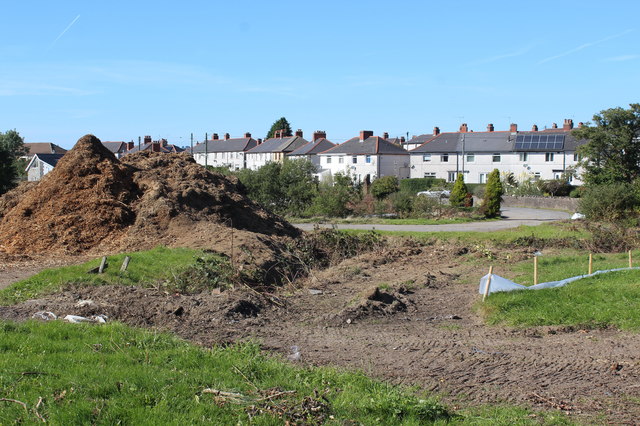
Image: © M J Roscoe Taken: 29 Sep 2018
The main entrance (right) is off Llwyn On Lane. The brown mounds (left) appear to be wood chippings from the trees and bushes that have removed to make way for a housing estate.
Images are licensed for reuse under creativecommons.org/licenses/by-sa/2.0
Image Location
Latitude
51.677142
Longitude
-3.17402