Garden, 'The Lawn', Swindon
Introduction
The photograph on this page of Garden, 'The Lawn', Swindon by Brian Robert Marshall as part of the Geograph project.
The Geograph project started in 2005 with the aim of publishing, organising and preserving representative images for every square kilometre of Great Britain, Ireland and the Isle of Man.

There are currently over 7.5m images from over 14,400 individuals and you can help contribute to the project by visiting https://www.geograph.org.uk
Garden, 'The Lawn', Swindon
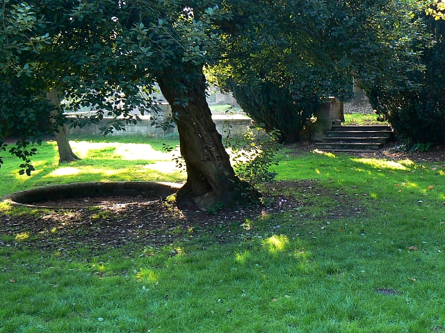
Image: © Brian Robert Marshall Taken: 23 Oct 2007
This was a sunken garden in front of the 18th century manor house called 'The Lawn' owned and occupied by the Goddard family who were for many years up to the second world war lords of the manor. The house itself was demolished in 1952 as it was held to be beyond repair following military use in the war years.
Images are licensed for reuse under creativecommons.org/licenses/by-sa/2.0
Image Location
Latitude
51.551713
Longitude
-1.77085