Craigellachie Station
Introduction
The photograph on this page of Craigellachie Station by Anne Burgess as part of the Geograph project.
The Geograph project started in 2005 with the aim of publishing, organising and preserving representative images for every square kilometre of Great Britain, Ireland and the Isle of Man.

There are currently over 7.5m images from over 14,400 individuals and you can help contribute to the project by visiting https://www.geograph.org.uk
Craigellachie Station
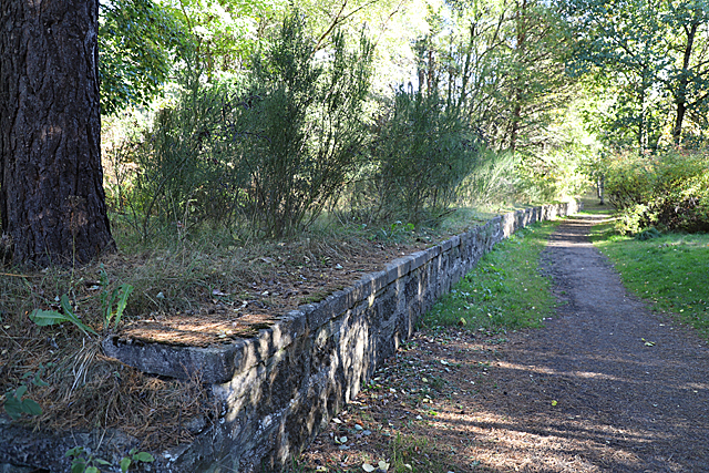
Image: © Anne Burgess Taken: 29 Sep 2018
Or, to be more precise, what remains of one of the platforms at Craigellachie Station. Craigellachie was on the Strathspey Railway, and it was joined here at Craigellachie by the Morayshire Railway. It is now part of the Speyside Way.
Images are licensed for reuse under creativecommons.org/licenses/by-sa/2.0
Image Location
Latitude
57.491295
Longitude
-3.182234