The Murroch Burn flowing under a bridge
Introduction
The photograph on this page of The Murroch Burn flowing under a bridge by Lairich Rig as part of the Geograph project.
The Geograph project started in 2005 with the aim of publishing, organising and preserving representative images for every square kilometre of Great Britain, Ireland and the Isle of Man.

There are currently over 7.5m images from over 14,400 individuals and you can help contribute to the project by visiting https://www.geograph.org.uk
The Murroch Burn flowing under a bridge
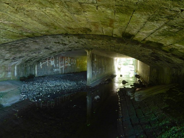
Image: © Lairich Rig Taken: 4 Jul 2018
The bridge is the one shown in Image, and the view direction is the same, looking upstream. As noted at the other link, the bridge takes Stirling Road over the Murroch Burn.
Images are licensed for reuse under creativecommons.org/licenses/by-sa/2.0
Image Location
Latitude
55.9629
Longitude
-4.56367