Field beside Slad Lane
Introduction
The photograph on this page of Field beside Slad Lane by Derek Harper as part of the Geograph project.
The Geograph project started in 2005 with the aim of publishing, organising and preserving representative images for every square kilometre of Great Britain, Ireland and the Isle of Man.

There are currently over 7.5m images from over 14,400 individuals and you can help contribute to the project by visiting https://www.geograph.org.uk
Field beside Slad Lane
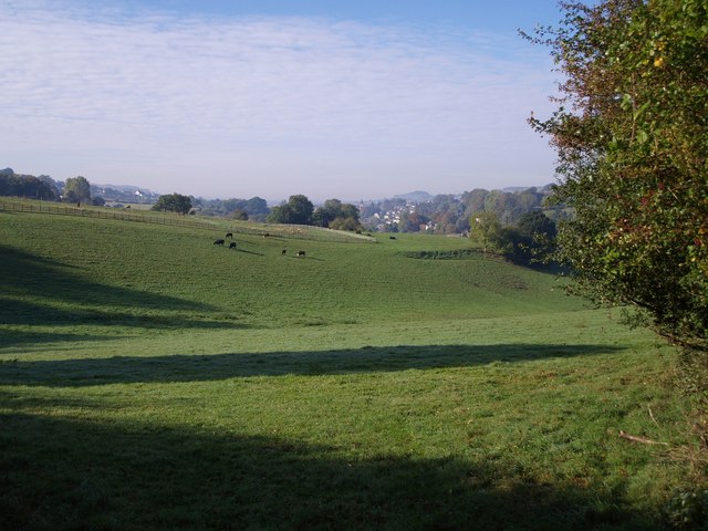
Image: © Derek Harper Taken: 19 Oct 2007
Only the nearer part of this field, crossed by a combe in the side of the Slad valley, is in square. In the distance is All Saints church in Uplands, Stroud.
Images are licensed for reuse under creativecommons.org/licenses/by-sa/2.0
Image Location
Latitude
51.752089
Longitude
-2.189722