Wollaton: near the centre of the village
Introduction
The photograph on this page of Wollaton: near the centre of the village by John Sutton as part of the Geograph project.
The Geograph project started in 2005 with the aim of publishing, organising and preserving representative images for every square kilometre of Great Britain, Ireland and the Isle of Man.

There are currently over 7.5m images from over 14,400 individuals and you can help contribute to the project by visiting https://www.geograph.org.uk
Wollaton: near the centre of the village
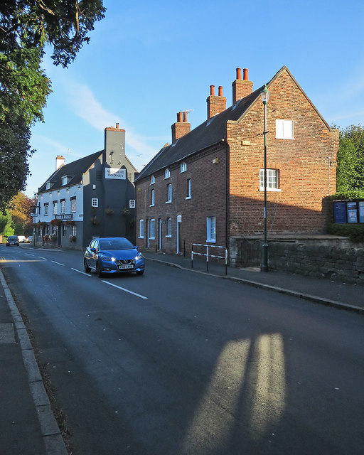
Image: © John Sutton Taken: 25 Sep 2018
Looking towards The Admiral Rodney before nine o'clock on a bright late-September morning. The 18th-century brick houses are Grade II listed. Image] is a comparable picture taken in November 2009.
Images are licensed for reuse under creativecommons.org/licenses/by-sa/2.0
Image Location
Latitude
52.952932
Longitude
-1.220764