New housing development, Northallerton
Introduction
The photograph on this page of New housing development, Northallerton by Gordon Hatton as part of the Geograph project.
The Geograph project started in 2005 with the aim of publishing, organising and preserving representative images for every square kilometre of Great Britain, Ireland and the Isle of Man.

There are currently over 7.5m images from over 14,400 individuals and you can help contribute to the project by visiting https://www.geograph.org.uk
New housing development, Northallerton
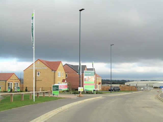
Image: © Gordon Hatton Taken: 26 Sep 2018
The road here is part of the new link road between the A167 and A684 on the north side of the town, which will help to alleviate congestion at the Low Gates level crossing. It seems odd that a new housing estate is already being developed here before the relief road is open, and that such development will only lead to more traffic problems.
Images are licensed for reuse under creativecommons.org/licenses/by-sa/2.0
Image Location
Latitude
54.352953
Longitude
-1.445773