Watcombe Beach Road at Watcombe House
Introduction
The photograph on this page of Watcombe Beach Road at Watcombe House by Derek Harper as part of the Geograph project.
The Geograph project started in 2005 with the aim of publishing, organising and preserving representative images for every square kilometre of Great Britain, Ireland and the Isle of Man.

There are currently over 7.5m images from over 14,400 individuals and you can help contribute to the project by visiting https://www.geograph.org.uk
Watcombe Beach Road at Watcombe House
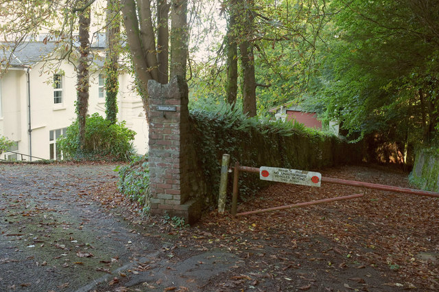
Image: © Derek Harper Taken: 23 Sep 2018
On the left is "Watcombe House dated 1858 – now divided in two as Washington House and Watcombe Court" http://www.torbay.gov.uk/media/7592/watcombe-park-caa.pdf . A listed building description is at https://historicengland.org.uk/listing/the-list/list-entry/1206875 . The barrier across the road beyond this point states "No authorised vehicles beyond this point".
Images are licensed for reuse under creativecommons.org/licenses/by-sa/2.0
Image Location
Latitude
50.4962
Longitude
-3.519955