Bradmore church
Introduction
The photograph on this page of Bradmore church by Chris Morgan as part of the Geograph project.
The Geograph project started in 2005 with the aim of publishing, organising and preserving representative images for every square kilometre of Great Britain, Ireland and the Isle of Man.

There are currently over 7.5m images from over 14,400 individuals and you can help contribute to the project by visiting https://www.geograph.org.uk
Bradmore church
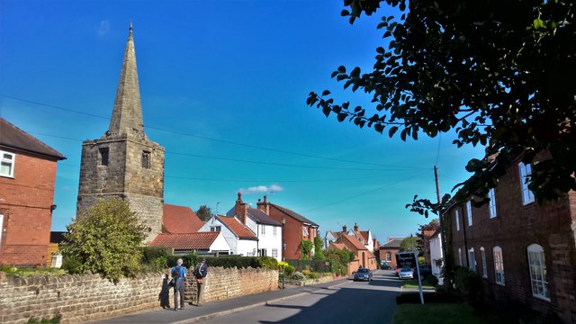
Image: © Chris Morgan Taken: 25 Sep 2018
Dates back to the 13th century but not used as a church since a fire in 1705, but now the tower and spire are attached to a mission hall.
Images are licensed for reuse under creativecommons.org/licenses/by-sa/2.0
Image Location
Latitude
52.875014
Longitude
-1.133013