Llwybr Ceffyl a Llwybr Troed
Introduction
The photograph on this page of Llwybr Ceffyl a Llwybr Troed by Alan Hughes as part of the Geograph project.
The Geograph project started in 2005 with the aim of publishing, organising and preserving representative images for every square kilometre of Great Britain, Ireland and the Isle of Man.

There are currently over 7.5m images from over 14,400 individuals and you can help contribute to the project by visiting https://www.geograph.org.uk
Llwybr Ceffyl a Llwybr Troed
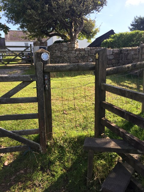
Image: © Alan Hughes Taken: 25 Sep 2018
Coloured signs - and Welsh signage - indicate a bridle path to the left and footpath to the right.
Images are licensed for reuse under creativecommons.org/licenses/by-sa/2.0
Image Location
Latitude
51.589017
Longitude
-4.27089