Eastrington Methodist Church
Introduction
The photograph on this page of Eastrington Methodist Church by Paul Glazzard as part of the Geograph project.
The Geograph project started in 2005 with the aim of publishing, organising and preserving representative images for every square kilometre of Great Britain, Ireland and the Isle of Man.

There are currently over 7.5m images from over 14,400 individuals and you can help contribute to the project by visiting https://www.geograph.org.uk
Eastrington Methodist Church
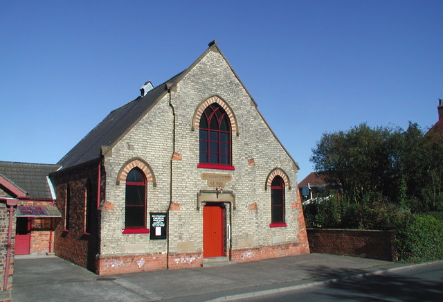
Image: © Paul Glazzard Taken: 19 Oct 2007
Former Wesleyan Church, built in 1893 at the eastern end of Queen Street, Eastrington.
Images are licensed for reuse under creativecommons.org/licenses/by-sa/2.0
Image Location


Leaflet Map data © OpenStreetMap
Latitude
53.761531
Longitude
-0.792817